

Seidlalm-Bockberg
Hiking


Description
This hike takes us to the Seidlalm, which is located at 1,191 m.
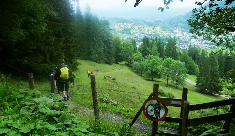
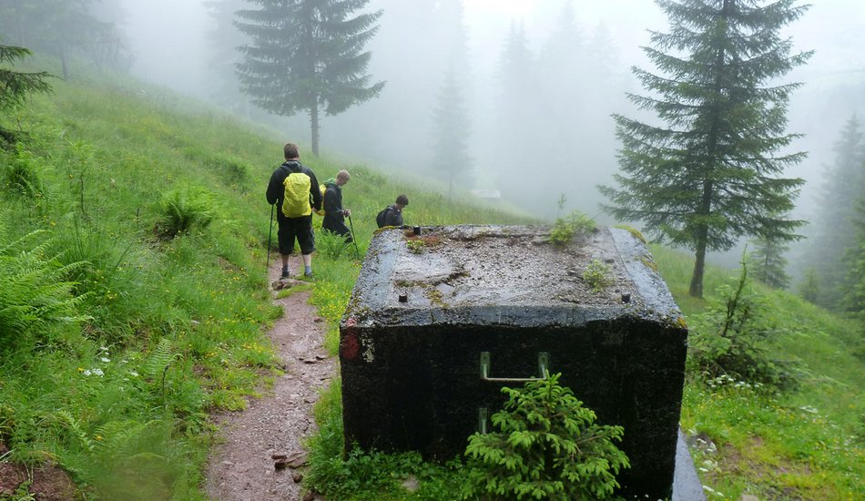
This hike takes us to the Seidlalm, which is located at 1,191 m. The starting point is the Bruggerhof, from where we follow the road to the right until the junction and cross the railway crossing to reach the Brixentaler Strasse. From this road, an asphalt road leads uphill to the Koglern farm, or you can follow the signs towards Seidlalm. After the last farm, you hike through a stretch of forest before reaching the Kampen ski run, which you must cross. Then follow the signs to the Seidlalm. A stop at the Seidlalm is mandatory, as it makes culinary hearts beat faster with its traditional Tyrolean home cooking.
Route:
Bruggerhof - Brixenthaler Straße - Hof Koglern - Seidlalm
equipment:
weather-appropriate clothing, suitable footwear


Events
Loading...
Up to date
Loading...
Loading...
Loading...
Accommodation
Accommodation
Loading...